Software
Services & Trainings
-

Warranty Extension 1 year – Phins Surface – Phins E
On demand
Make sure to continue benefiting from the best…

Accessories
-

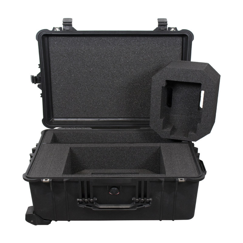
Octans/Phins Surface – Flight case
2,250.00€/ unit
Rugged flight case for:
– Octans Surface
– Phins Surface
-… -
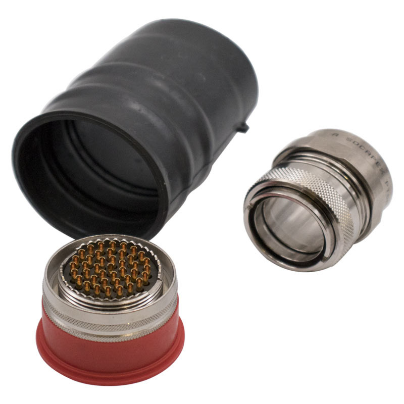
Kit – Connector – Amphenol 41 pin Civ – Ni – Digital
290.00€/ unit
This kit contains:
1 x 41 pins Connector
1 x… -
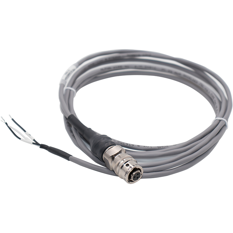
Pigtail – Amphenol 3 pin Civ – 3 m – Ni – Power Supply
300.00€/ unit
Required for assembly of:
– Octans Surface;
– Phins Surface -
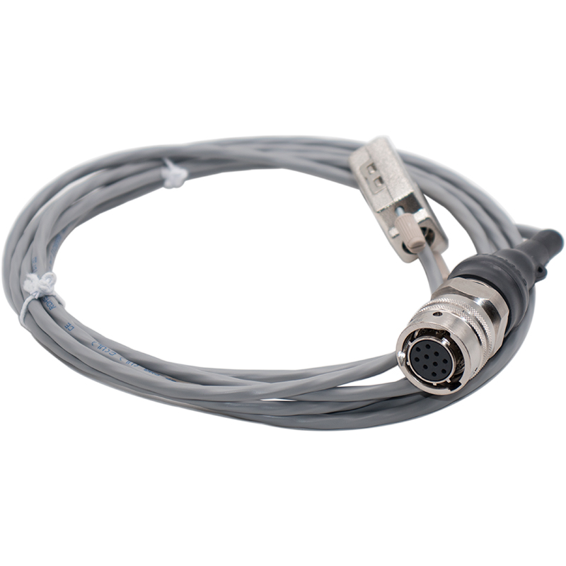
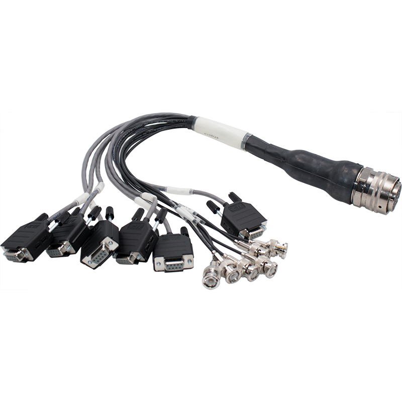
Test cable – Amphenol 10 pin Civ – 3 m – Ni – Repeater
300.00€/ unit
Required for assembly of:
– Octans Surface;
– Phins Surface -
-
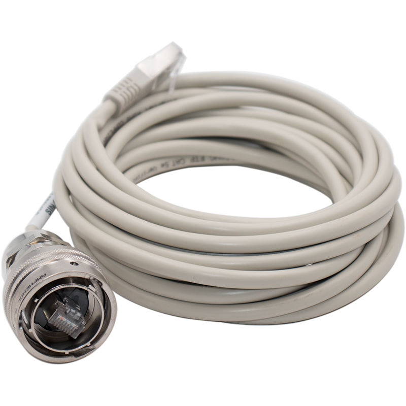
Test cable – Amphenol 41pin Civ – 0.5m – Ni – Digital
1,260.00€/ unit
Required for assembly of:
– Octans Surface;
– Phins Surface