Inertial Navigation for Surface Operations
Quadrans, Octans, Hydrins, Phins
Get more information with

Linkedin account
Jean-Michel Hubert
Product Manager
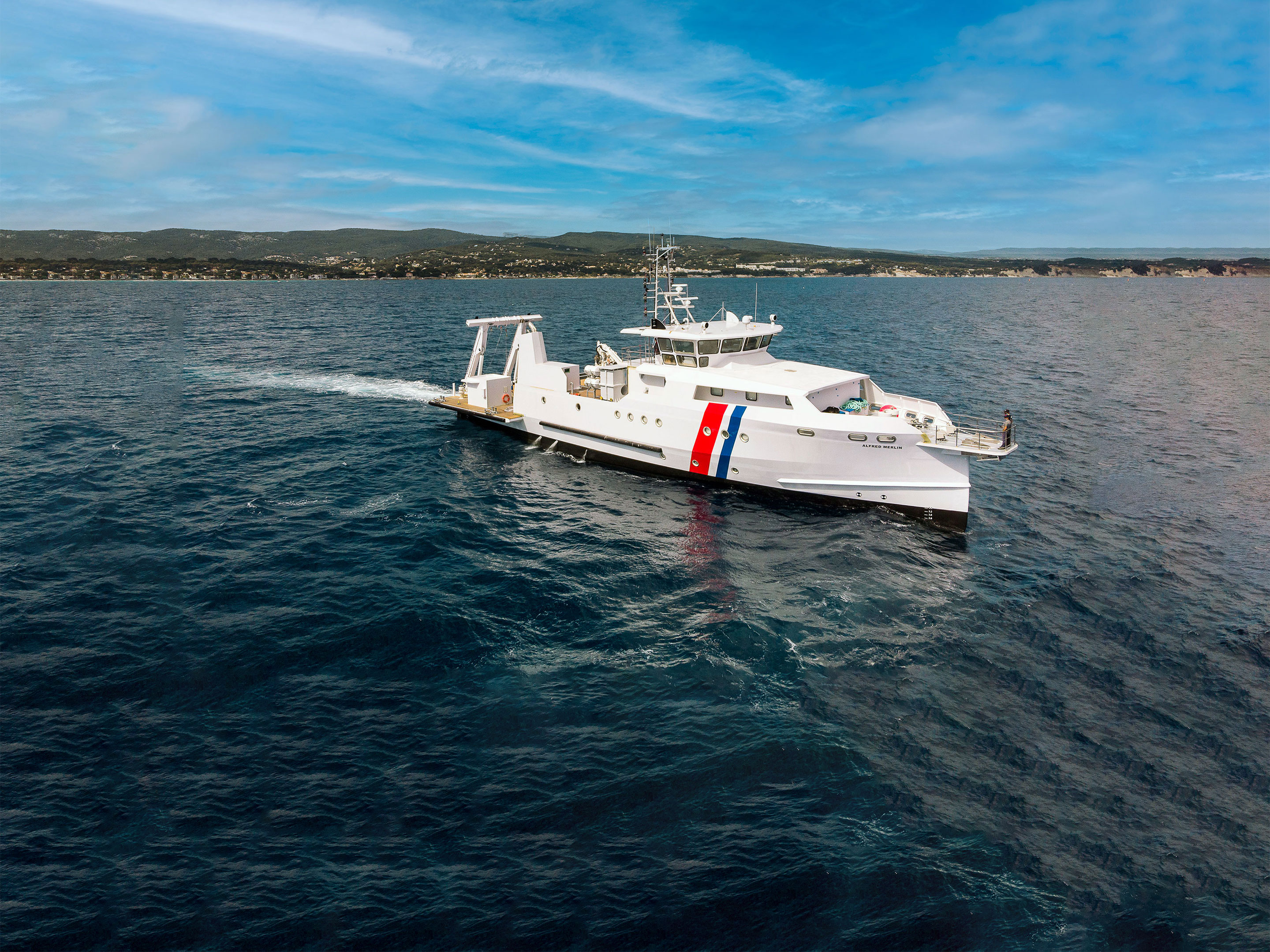
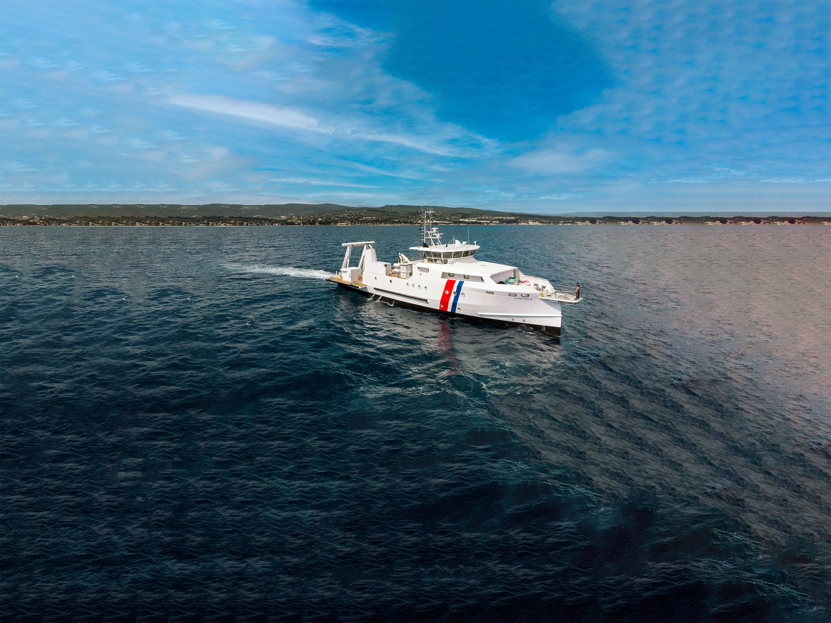
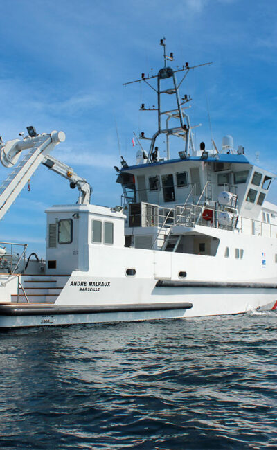
iXblue offers a complete range of Fiber-Optic Gyroscope (FOG)-based Attitude and Heading Reference Systems (AHRS) and Inertial Navigation Systems (INS) dedicated to maritime surface applications. Highly reliable and performant, iXblue systems provide extremely robust navigation information in environments that experience long-term GNSS outages. For many years now, they’ve been the preferred surface navigation systems for major operations in the challenging offshore and hydrographic industries.

|

|

|

|
|
|---|---|---|---|---|
| Product type | AHRS | AHRS | INS | INS |
| Gyrocompas capability | yes | Yes | yes | yes |
| Typical applications | IMO navigation / Platform stabilization / Offshore engineering | IMO navigation / High-end platform stabilization / Offshore engineering | IMO navigation / Platform stabilization / Dynamic positioning / Survey grade IHO / Seafloor characterization / Offshore engineering | IMO navigation / Advanced navigation / Platform stabilization / Dynamic positioning / Survey grade IHO / Seafloor characterization / Offshore engineering |
| Heading accuracy | 0.15° secant latitude RMS | 0.05° secant latitude RMS | 0.01° secant latitude RMS | 0.01° secant latitude RMS |
| Roll & Pitch accuracy | 0.1° RMS | 0.01° RMS | 0.01° RMS | 0.01° RMS |
| Smart Heave Whichever is greater | 5% RMS / 5 cm | 2% RMS / 2 cm | 2% RMS / 2 cm | 2% RMS / 2 cm |
| Pure inertial drift | 0.6 Nm/h | |||
| Drift without aiding for 1, 2, 5 min | 0.8 m / 3.2 m / 20 m CEP 50 | 0.8 m / 3.2 m / 20 m CEP 50 | ||
| IMO / IMO HSC | ||||
| External sensors | GNSS, EM log | GNSS, EM log | GNSS | GNSS, EM log, DVL, USBL, LBL |
| Postprocessing software option | APPS/DELPHINS | APPS/DELPHINS | ||
| Ask for quote | Ask for quote | Ask for quote | Ask for quote |

|

|

|

|
|
|---|---|---|---|---|
| Product type | AHRS | AHRS | INS | INS |
| Gyrocompas capability | yes | Yes | yes | yes |
| Typical applications | IMO navigation / Platform stabilization / Offshore engineering | IMO navigation / High-end platform stabilization / Offshore engineering | IMO navigation / Platform stabilization / Dynamic positioning / Survey grade IHO / Seafloor characterization / Offshore engineering | IMO navigation / Advanced navigation / Platform stabilization / Dynamic positioning / Survey grade IHO / Seafloor characterization / Offshore engineering |
| Heading accuracy | 0.15° secant latitude RMS | 0.05° secant latitude RMS | 0.01° secant latitude RMS | 0.01° secant latitude RMS |
| Roll & Pitch accuracy | 0.1° RMS | 0.01° RMS | 0.01° RMS | 0.01° RMS |
| Smart Heave Whichever is greater | 5% RMS / 5 cm | 2% RMS / 2 cm | 2% RMS / 2 cm | 2% RMS / 2 cm |
| Pure inertial drift | 0.6 Nm/h | |||
| Drift without aiding for 1, 2, 5 min | 0.8 m / 3.2 m / 20 m CEP 50 | 0.8 m / 3.2 m / 20 m CEP 50 | ||
| IMO / IMO HSC | ||||
| External sensors | GNSS, EM log | GNSS, EM log | GNSS | GNSS, EM log, DVL, USBL, LBL |
| Postprocessing software option | APPS/DELPHINS | APPS/DELPHINS | ||
| Ask for quote | Ask for quote | Ask for quote | Ask for quote |
