Oil & Gas
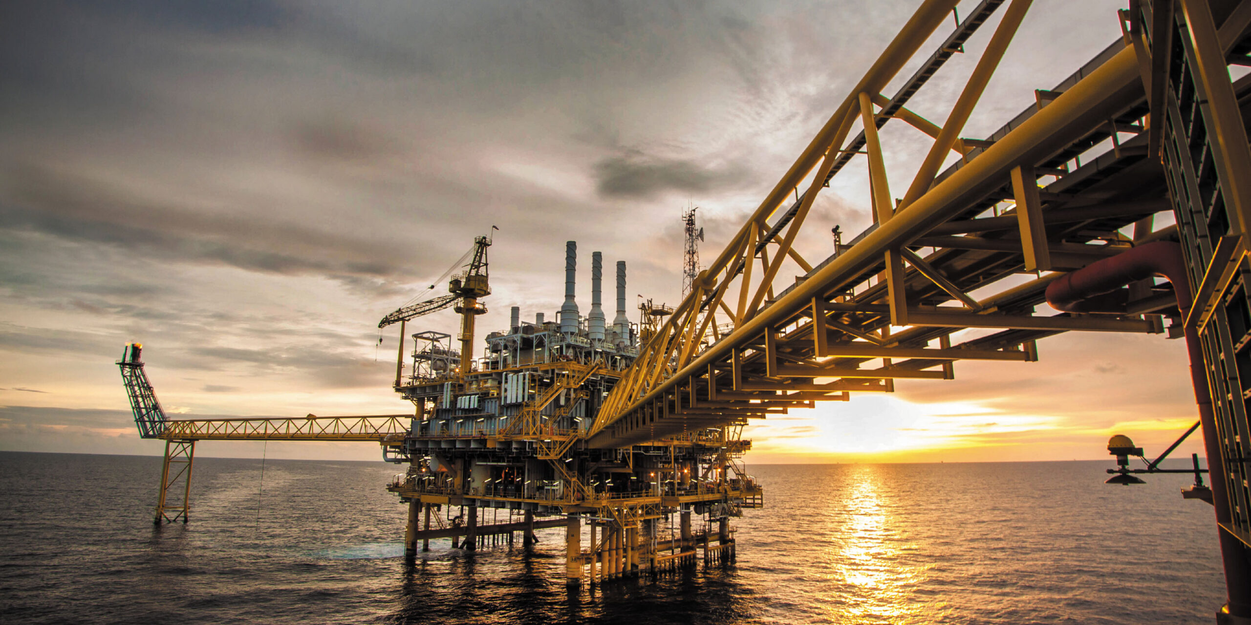
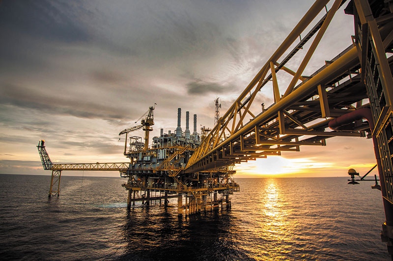
From pre-lay survey to decommissioning, our solutions will be supporting every phase of your O&G field development. With proven performance and reliability in ultra-deep waters, our sustainable innovative solutions are at work on most oil fields around the world. Requiring less equipment to be put to sea, and offering disruptive, yet proven, uncrewed solutions, we will help you achieve operational efficiency, reducing costs and time spent at sea.
DriX Uncrewed Surface Vehicle (USV)
DriX can conduct both remote-controlled and supervised autonomous operations and offers outstanding seakeeping and speed capabilities. Versatile and efficient it can host a wide range of payloads and offers optimum conditions for high quality data acquisition in both shallow and deep waters.
See moreRamses LBL transceiver
Providing highly performant subsea positioning and monitoring capabilities down to 6,000m, the Ramses transceiver offers advanced LBL/sparse LBL capabilities.
See moreCanopus LBL transponder
Providing highly performant subsea positioning and monitoring capabilities down to 6,000m, the Canopus transponder offers advanced LBL/sparse LBL capabilities.
See moreGaps Series USBL systems
The Gaps Series offers unrivaled horizontal tracking capabilities and unmatched accuracy from extremely shallow water depths to 4,000 meters. Providing accuracy and reliability, they are perfectly suited to work-class ROV surveys, AUV missions, diver tracking, or critical dynamic positioning operations.
See moreInertial Navigation for Surface Operations
iXblue offers a complete range of Fiber-Optic Gyroscope (FOG)-based Attitude and Heading Reference Systems (AHRS) and Inertial Navigation Systems (INS) dedicated to maritime surface applications. Highly reliable and performant, iXblue systems provide extremely robust navigation information in environments that experience long-term GNSS outages.
See moreDelph Subsea Positioning Software
Delph Subsea Positioning (Delph SP) is an intuitive and dynamic software package used to plan, operate and post-process iXblue subsea positioning products. Integrating the full range of iXblue subsea systems, Delph SP simplifies the planning, simulation, operation and post-processing of subsea positioning tasks.
Inertial Navigation Solutions for ROV
Equipping over 80% of the subsea vehicles used in the Energy and Geoscience industries, iXblue FOG (Fiber-Optic Gyroscope)-based Inertial Navigation Systems (INS) and Attitude Heading and Reference Systems (AHRS) are accurate and maintenance-free navigation systems that provide unmatched performance and reliability for highly accurate ROV navigation.
Ramses LBL transceiver
Providing highly performant subsea positioning and monitoring capabilities down to 6,000m, the Ramses transceiver offers advanced LBL/sparse LBL capabilities.
Canopus LBL transponder
Providing highly performant subsea positioning and monitoring capabilities down to 6,000m, the Canopus transponder offers advanced LBL/sparse LBL capabilities.
Inertial Navigation Solutions for AUV
Equipping over 80% of the subsea vehicles used in the Energy and Geoscience industries, iXblue FOG (Fiber-Optic Gyroscope)-based Inertial Navigation Systems (INS) are accurate and maintenance-free navigation systems that provide unmatched performance and reliability. Compact, they are easily integrated on AUV to offer highly accurate navigation capabilities.
DriX Uncrewed Surface Vehicle (USV)
DriX can conduct both remote-controlled and supervised autonomous operations and offers outstanding seakeeping and speed capabilities. Versatile and efficient it can host a wide range of payloads and offers optimum conditions for high quality data acquisition in both shallow and deep waters.
Gaps Series USBL systems
The Gaps Series offers unrivaled horizontal tracking capabilities and unmatched accuracy from extremely shallow water depths to 4,000 meters. Providing accuracy and reliability, they are perfectly suited to work-class ROV surveys, AUV missions, diver tracking, or critical dynamic positioning operations.
DriX Uncrewed Surface Vehicle (USV)
DriX can conduct both remote-controlled and supervised autonomous operations and offers outstanding seakeeping and speed capabilities. Versatile and efficient it can host a wide range of payloads and offers optimum conditions for high quality data acquisition in both shallow and deep waters.
Echoes Series Sub-bottom Profilers
The Echoes Series is a complete solution to acquire, process and interpret high-quality geological data thanks to its integration with the provided Delph Seismic software.
FlipiX Remotely Operated Towed Vehicle (ROTV)
FlipiX is operated autonomously and enhances uncrewed survey capabilities. Deployed from Unmanned Surface Vessels (USVs) or traditional vessels, it enables autonomous bathymetry, geophysics and UXO operations in a single run. Leveraging best-in class motion control and a reduced operational footprint, FlipiX is a unique conveyance platform for Side Scan Sonars (SSS) and Magnetometers.
