Ocean Science
Biomass survey, subsea imagery and mapping, sedimentology, seafloor geodesy, instrumentation deployment and positioning…We provide unique solutions to universities, agencies and institutes worldwide to address their growing challenges and carry out their maritime research projects. Offering proven performance and reliability from very shallow to ultra-deep waters, our versatile solutions can address a wide range of applications, powering flexible and cost-effective operations.
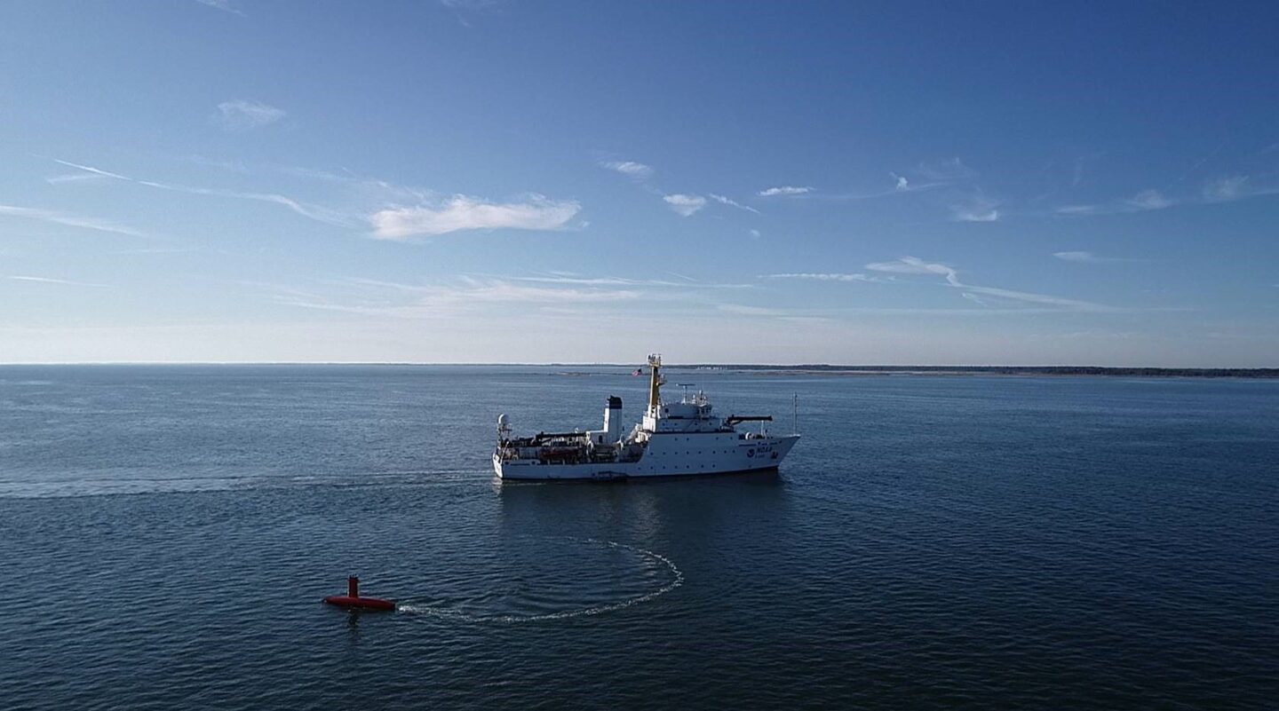
DriX Uncrewed Surface Vehicle (USV)
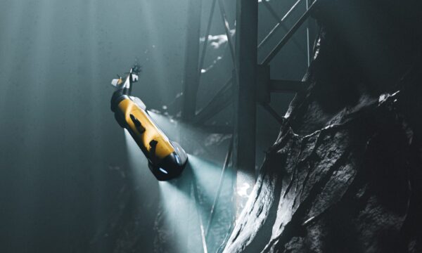
DriX can conduct both remote-controlled and supervised autonomous operations and offers outstanding seakeeping and speed capabilities. Versatile and efficient it can host a wide range of payloads and offers optimum conditions for high quality data acquisition in both shallow and deep waters.
SeapiX-R 3D Multibeam Echosounder
SeapiX-R is an advanced 3D Multibeam Echosounder solution that delivers unique capabilities for environmental survey
Oceano Series of Acoustic Releases
Highly robust and reliable, the Oceano Series can deploy and retrieve payloads from 200 kg to 10,000 kg ensuring the safe and long-endurance operation of all your subsea instrumented structures, from coastal to ultra-deep offshore environments.
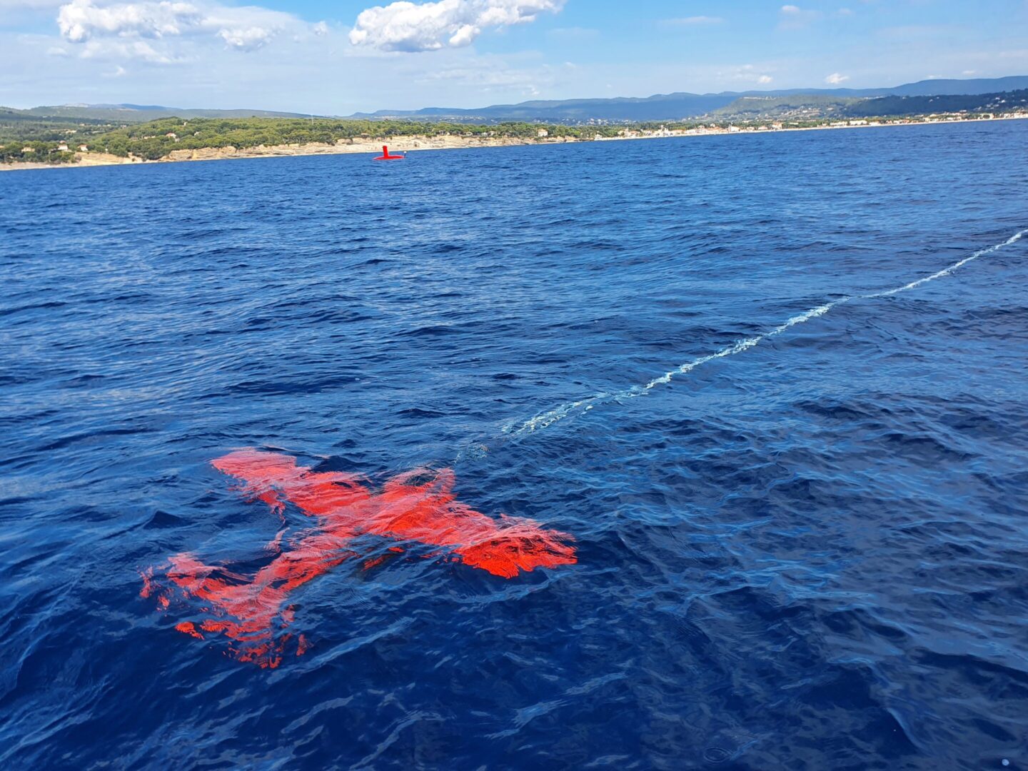
FlipiX Remotely Operated Towed Vehicle (ROTV)
FlipiX is operated autonomously and enhances uncrewed survey capabilities. Deployed from Unmanned Surface Vessels (USVs) or traditional vessels, it enables autonomous bathymetry, geophysics and UXO operations in a single run. Leveraging best-in class motion control and a reduced operational footprint, FlipiX is a unique conveyance platform for Side Scan Sonars (SSS) and Magnetometers.
DriX Uncrewed Surface Vehicle (USV)
DriX can conduct both remote-controlled and supervised autonomous operations and offers outstanding seakeeping and speed capabilities. Versatile and efficient it can host a wide range of payloads and offers optimum conditions for high quality data acquisition in both shallow and deep waters.
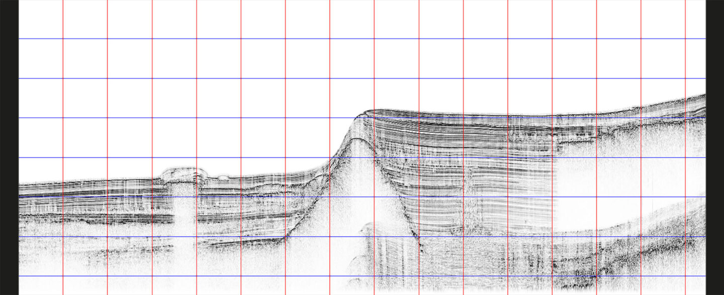
Echoes Series Sub-bottom Profilers
The Echoes Series is a complete solution to acquire, process and interpret high-quality geological data thanks to its integration with the provided Delph Seismic software.
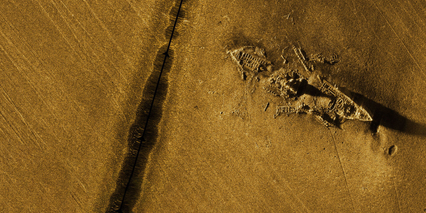
Sams Series Synthetic Aperture and Mapping Sonars
The Sams Series of Synthetic Aperture and Mapping Sonars offers a unique seabed mapping solution. Based on the interferometric SAS sonar technology, it allows for simultaneous real-time imaging and high-resolution bathymetric mapping of the seabed.
Gaps Series USBL systems
The Gaps Series offers unrivaled horizontal tracking capabilities and unmatched accuracy from extremely shallow water depths to 4,000 meters. Providing accuracy and reliability, they are perfectly suited to work-class ROV surveys, AUV missions, diver tracking, or critical dynamic positioning operations.
Inertial Navigation for Surface Operations
iXblue offers a complete range of Fiber-Optic Gyroscope (FOG)-based Attitude and Heading Reference Systems (AHRS) and Inertial Navigation Systems (INS) dedicated to maritime surface applications. Highly reliable and performant, iXblue systems provide extremely robust navigation information in environments that experience long-term GNSS outages.
Delph Geo Geophysical Software
Delph Geo is an open and complete software solution that offers Seismic, Sonar and magnetometer modules that cover all survey needs from data acquisition to processing and data interpretation
Canopus LBL transponder
Providing highly performant subsea positioning and monitoring capabilities down to 6,000m, the Canopus transponder offers advanced LBL/sparse LBL capabilities.
