Subsea Imagery

# #

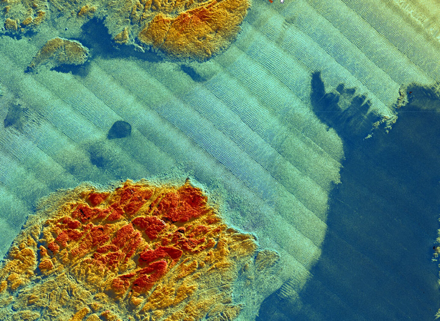
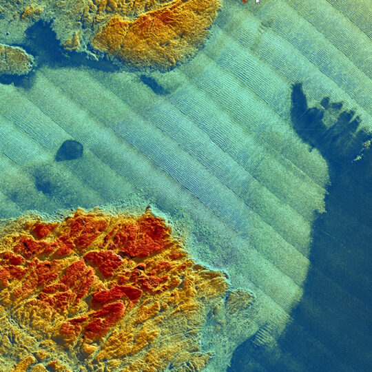
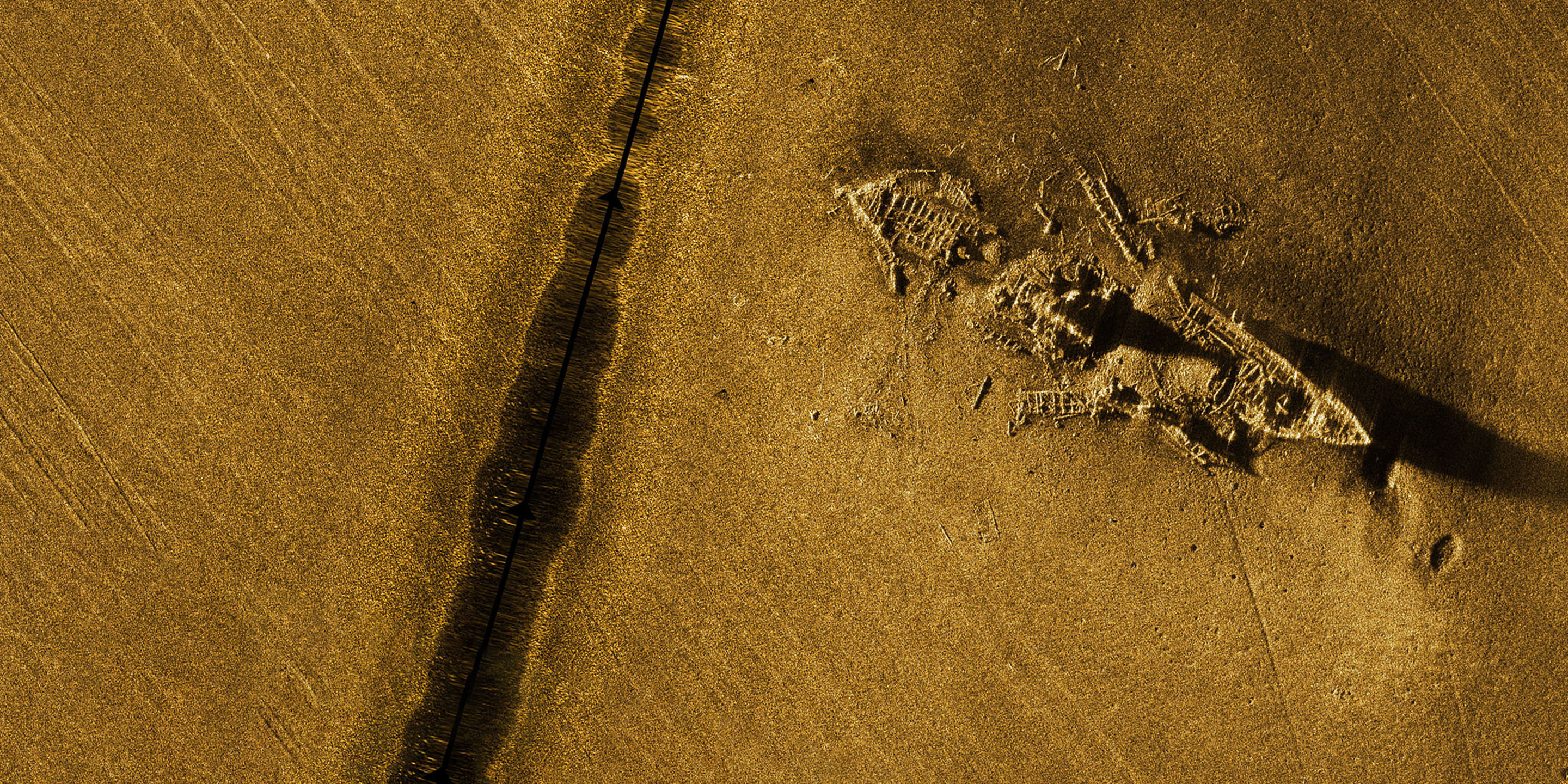
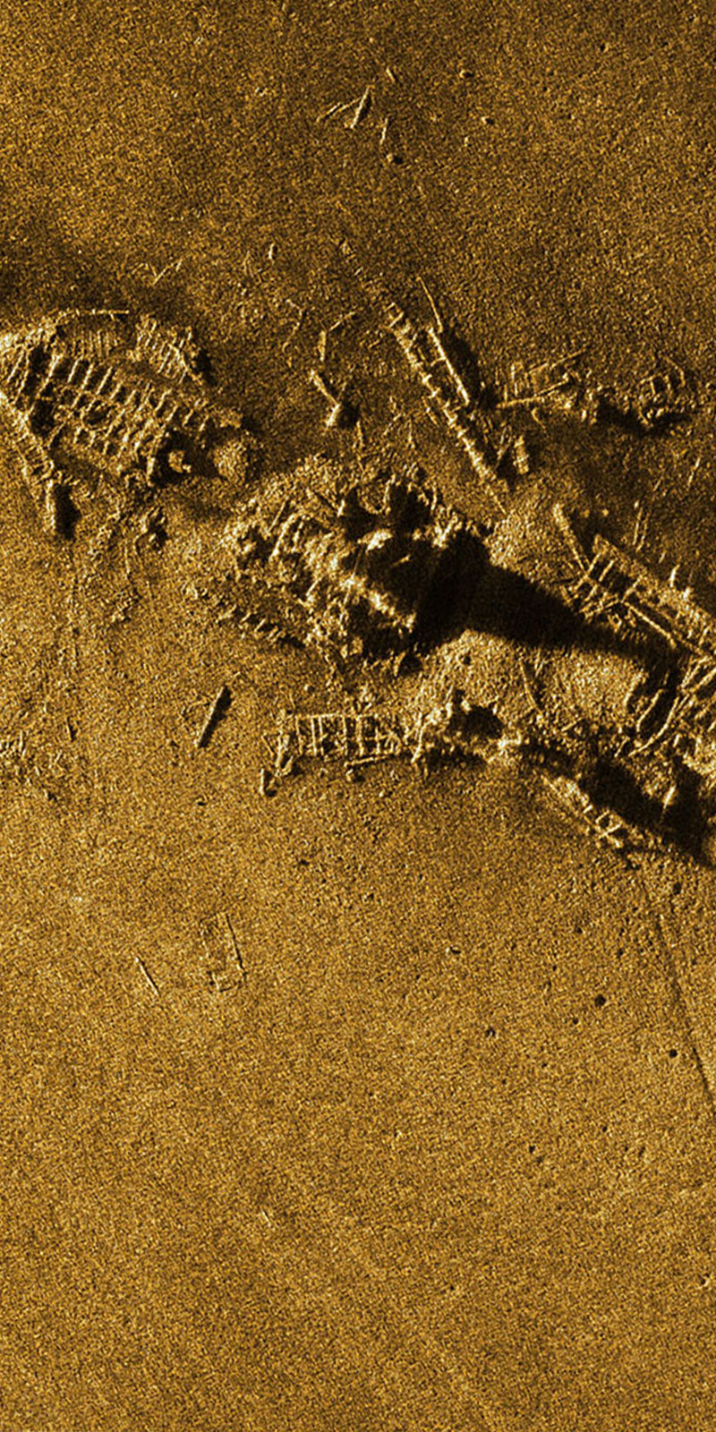
With only 10% of the bottom of the ocean being mapped with a submetric resolution, the oceans seabed is the earth’s last frontier of human knowledge. Map the seafloor, protect marine habitats, monitor deep-sea mining, hunt for wrecks, study underwater geo-hazards are as many challenges for the years to come.

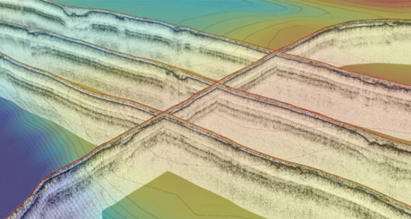
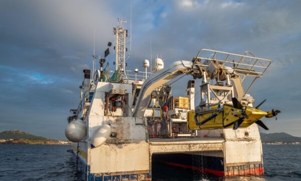
To help all major players in this field to meet these challenges, iXblue has developed a large range of systems designed to address the full spectrum of subsea imagery applications, from sub-bottom profiling and seabed mapping to water column monitoring.

Subsea imagery solution for every application

#

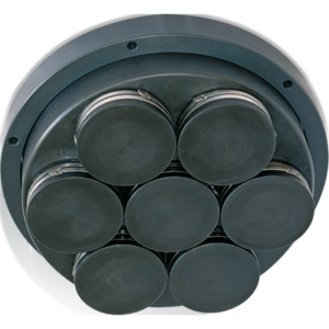
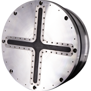
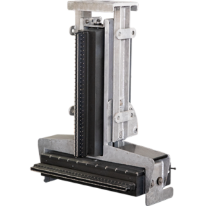
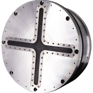
iXblue provides a complete range of subsea imagery products including Synthetic Aperture, multi-beam, forward-looking sonars, sub-bottom profilers as well as full geophysical software suite, a complete and modular software solution with dedicated acquisition, processing, and interpretation applications.

Products and Software

Pushing the boundaries of subsea and seabed imagery

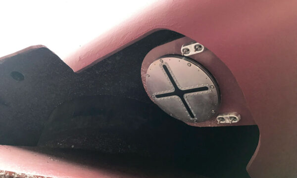
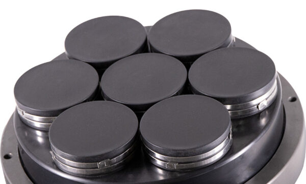
With all transducers and antennas, power and acquisition electronics, data processing software and platforms, designed in-house, iXblue masters the full chain of acquisition and can optimize it, offering to our customers innovative, performant, and cost-efficient imagery sensors. The quality of our data has been recognized by the world’s leading hydrographic and marine research institutes.


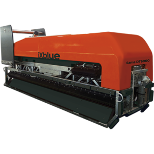
iXblue‘s deep expertise in inertial navigation and underwater positioning coupled with the high-resolution data, allows for highly-accurate pixel positioning and geo-referencing of the data. With Sams being equipped with a Phins 6000 INS, SeapiX 3D multi-beam echosounder integrating an IMU close to the antenna, and Echoes Series compensated for heave, iXblue sensors deliver unparalleled data quality.

#

A third-party friendly technology

As technologies are continuously evolving at fast pace and the survey industry is going through major revolutions with automation and big data, we are committed to designing hydrographic suites with the best performance available today and capable to integrate future needs. Our systems and software are thus fully open to the integration of third-party sensors on any type of platforms: towfish, gondolas, drones or survey vessels.

A unique software suite for acquisition & interpretation

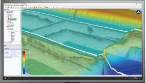
Designed in collaboration between key users and iXblue engineers, Delph Geo Software has been used by surveyors and geoscientists around the world for more than 30 years. It has been continuously improved and upgraded to become one of the most complete and efficient Geophysical software suites of the market. Operating with side-scan sonar systems, seismic systems, sub-bottom profilers, magnetometers and gradiometers, Delph Geo software is a complete and modular software solution with dedicated acquisition, processing and interpretation applications. It has been designed to boost survey productivity.

Discover

# #